9. At the end of Weldam turn right
At the end of Weldam turn right. The name of this street is Herinkhave (photo 13). At the end turn left. There is no street for cars here, just a cycling path and a footpath (photo 14). At the end turn right and walk the path called Twikkel that is going up a little bit (photo 15).
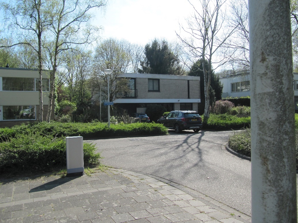 Photo 13: T-Crossing of Weldam with Herinkhave
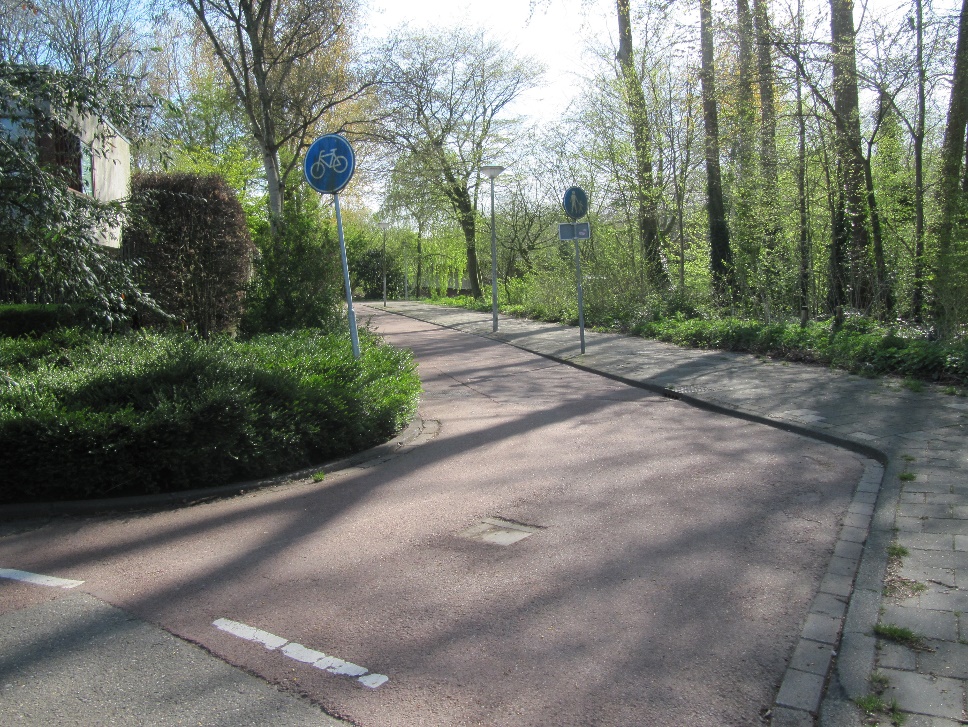 Photo 14: Cycling path and footpath west of Herinkhave
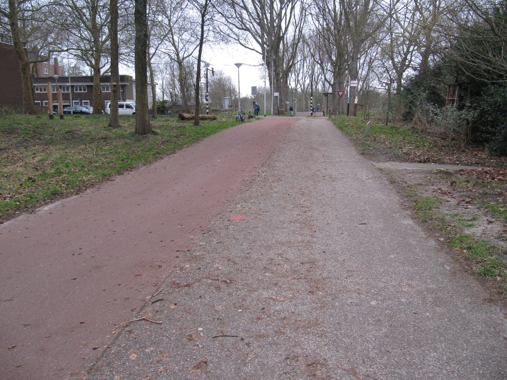 Photo 15: Going up the dike of Amstelveenseweg
The path goes up to Amstelveenseweg, which is higher, because it is an old dike between two polders. For centuries, Amstelveenseweg has been connecting Amsterdam with Amstelveen. Where you are coming from is the Binnendijkse polder (inner polder) and at the other side of the dike is the Buitendijkse polder (outer polder). Buitenveldert is slightly higher than the Amsterdamse Bos and Amstelveen. Buitenveldert belongs to Amstel, Gooi and Vecht water board, but the Amsterdamse Bos belongs to Rijnland water board.
Instructions 'Buitenveldert West'
- Start from Meeting island
- Go west
- Second path at your right hand
- Pedestrian tunnel
- Go right at the bridge
- To Hunneschans
- Along Van der Boechorststraat
- Go back a bit
- At the end of Weldam turn right
- Cross Amstelveenseweg
- Optional blue route
- To the Bosbaan
- To the park shop
- Optional red route or black route
- Follow cycling path at your left
- Left at the end of the cycling path
- Cross Amstelveenseweg
- Kalfjeslaan
- Left to the Ecolint
- Leaving the Ecolint
- Turn right into Van der Boechorststraat
- Playground Goudestein
- Project 'Green in the neighbourhood'
- Cross Van Nijenrodeweg and go to instruction 28
- Jan Heinenbrug
- Straight on until Van der Boechorststraat
- Left into Van der Boechorststraat
- Go right across the bridge
- To the old playground
- Go back to the footpath
- End