11. Kalfjeslaan eastside
At the end of the footpath, turn left onto Kalfjeslaan (photo 12) towards the river Amstel.
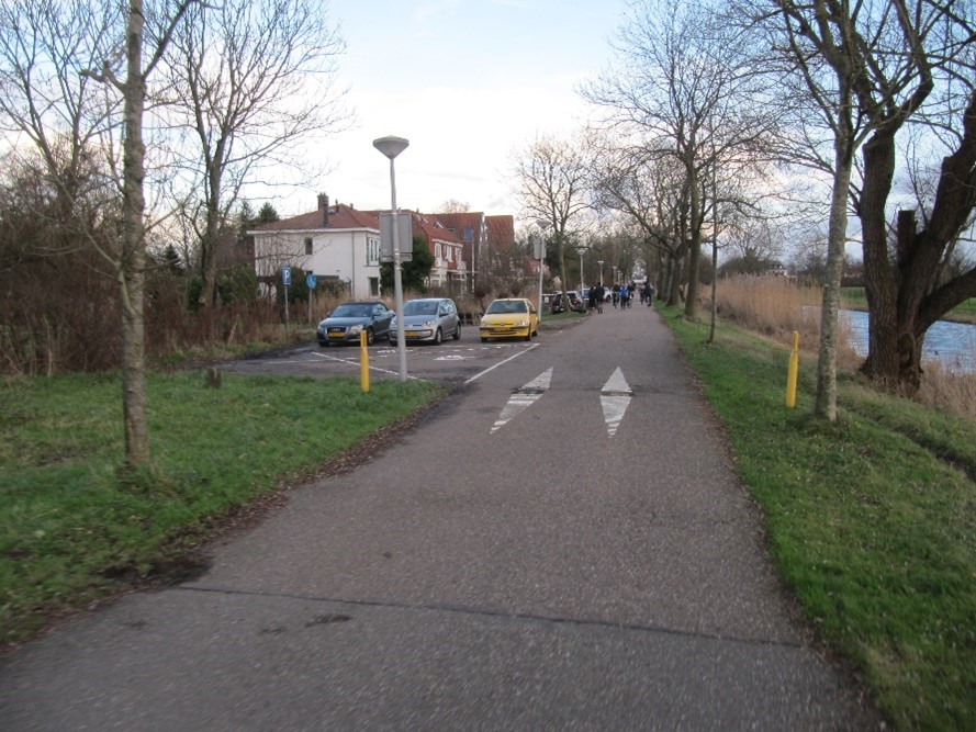
Photo 12: Kalfjeslaan eastside
On the left are quite old houses. It was once the intention to extent the Europa Boulevard to the south towards Amstelveen, see the map of 1969. That did not happen because the old houses on your left would have to be demolished. The then residents of these houses protested and successfully!
On your right you will see sport fields and parking lots. They are located in Amstelveen because Kalfjeslaan is the border between Amsterdam and Amstelveen.
Question 3: On the right hand, the area is much lower than on your left. How is that possible?
Instructions 'Buitenveldert '
- Meeting island in the sixties
- Tree of life
- Go east across the bridge behind the benches
- Straight on to the patio
- Cross Van Leijenberghlaan
- To playground
- To the small football field
- Bovigne
- Van Boshuizenstraat
- From Nederhoven to Kalfjeslaan
- Kalfjeslaan eastside
- Aemstel school garden
- Riekermolen
- Amstelpark
- Mensinge
- Along water
- Holy
- Geerviet and police station
- Gelderlandplein
- Willem van Weldammelaan
- End of walk