19. Left to the Ecolint
When you have passed the schools and the flats on your left, turn left on the walking path that is next to a cycle path (photo 32). After 50 meters is a bend. There you turn diagonally right through the Ecolint (photo 33).
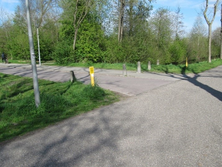 Photo 32: Left to the Ecolint
In the urban area of Amsterdam the Ecolint has been developed as an ecological connection in urban areas. This Ecolint connects the Amsterdamse Bos with the agricultural area and park along the river Amstel. The design of the Ecolint is tailored to the animals that live here such as the pike, weasel, small carakite and shore libel. A pest is the crayfish that occurs here in too large numbers. The water surface was expanded during the construction of the Ecolint, partly with a view to water storage in periods of high precipitation. That is necessary with the current climate change.
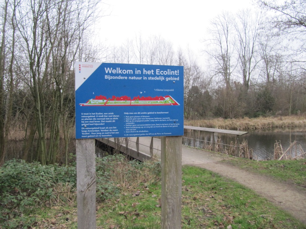 Photo 33: The Ecolint near Kalfjeslaan
Instructions 'Buitenveldert West'
- Start from Meeting island
- Go west
- Second path at your right hand
- Pedestrian tunnel
- Go right at the bridge
- To Hunneschans
- Along Van der Boechorststraat
- Go back a bit
- At the end of Weldam turn right
- Cross Amstelveenseweg
- Optional blue route
- To the Bosbaan
- To the park shop
- Optional red route or black route
- Follow cycling path at your left
- Left at the end of the cycling path
- Cross Amstelveenseweg
- Kalfjeslaan
- Left to the Ecolint
- Leaving the Ecolint
- Turn right into Van der Boechorststraat
- Playground Goudestein
- Project 'Green in the neighbourhood'
- Cross Van Nijenrodeweg and go to instruction 28
- Jan Heinenbrug
- Straight on until Van der Boechorststraat
- Left into Van der Boechorststraat
- Go right across the bridge
- To the old playground
- Go back to the footpath
- End