18. Kalfjeslaan
Walk straight on the footpath on the right hand side of the church. You are now walking on Kalfjeslaan (photo 30).
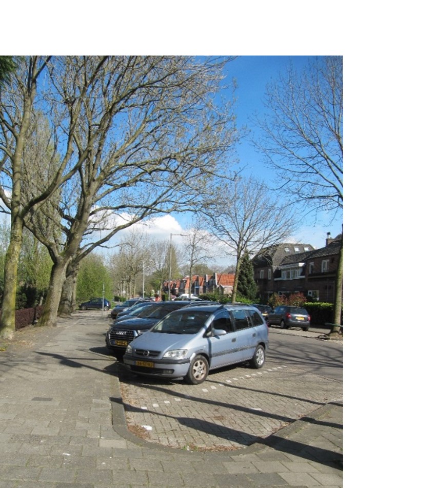
Photo 30: Kalfjeslaan
Until 1921 Buitenveldert was part of the municipality of Amstelveen. Amstelveen was not yet called Amstelveen. Until 1964 it was called Nieuwer-Amstel. The municipal border between Amsterdam and Amstelveen is now on Kalfjeslaan. Kalfjeslaan is located right under one of the busy flight routes to and from Schiphol Airport. In 2019 Schiphol handled more than 71 million passengers and 500,000 take-offs and lands! The residents here often experience a lot of noise and pollution. The flight path over Kalfjeslaan is not called Bulderbaan (Roaring runway) for nothing.
Question 5: Photo 31 shows Buitenveldert House on Kalfjeslaan around 1950. What has been built here now?
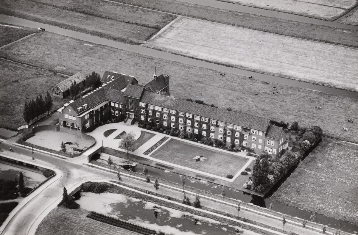 Photo 31: ‘Buitenveldert House’ Kalfjeslaan 1950 (City Archive Amsterdam)
Instructions 'Buitenveldert West'
- Start from Meeting island
- Go west
- Second path at your right hand
- Pedestrian tunnel
- Go right at the bridge
- To Hunneschans
- Along Van der Boechorststraat
- Go back a bit
- At the end of Weldam turn right
- Cross Amstelveenseweg
- Optional blue route
- To the Bosbaan
- To the park shop
- Optional red route or black route
- Follow cycling path at your left
- Left at the end of the cycling path
- Cross Amstelveenseweg
- Kalfjeslaan
- Left to the Ecolint
- Leaving the Ecolint
- Turn right into Van der Boechorststraat
- Playground Goudestein
- Project 'Green in the neighbourhood'
- Cross Van Nijenrodeweg and go to instruction 28
- Jan Heinenbrug
- Straight on until Van der Boechorststraat
- Left into Van der Boechorststraat
- Go right across the bridge
- To the old playground
- Go back to the footpath
- End