17. Holy
At Van Heenvlietlaan, carefully cross the street and walk straight on into the street called Holy (photo 17). At the end, turn left into Rotterdamsepad.
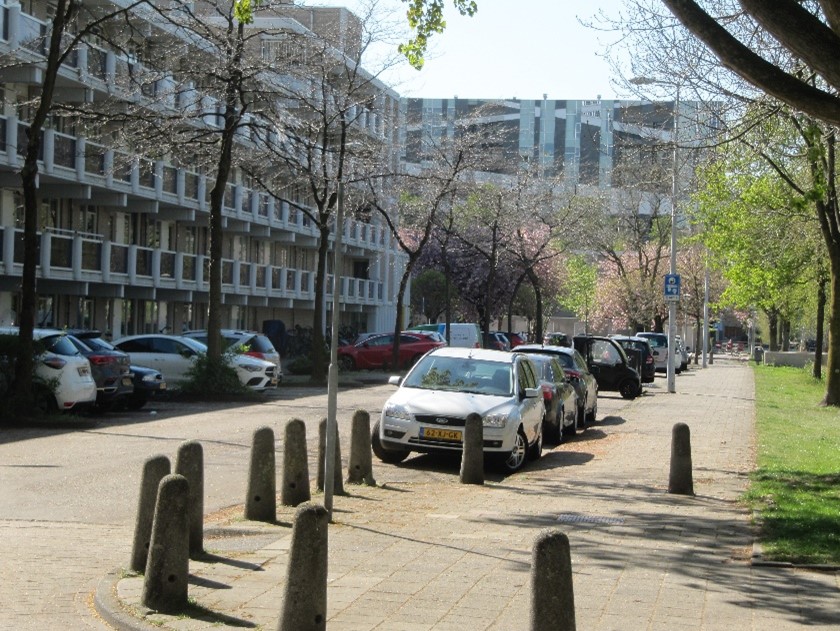
Photo 17: Holy near van Heenvlietlaan
The name Rotterdamsepad has a special history. In 1932, a large motorway ’Rijksweg A3’ was planned here through Buitenveldert. This was a wide highway from Amsterdam to Amstelveen and further south to Rotterdam, as you can see on the 1969 map of Buitenveldert. After the oil crisis in the seventies and environmental concerns, the A3 has been cancelled. The huge amount of sand to build the road that lay here for many years was used for the construction of the ring road around Amsterdam (A10). When the plan for the highway to Rotterdam was finally cancelled, it was possible to build flats here from 1980.
Instructions 'Buitenveldert '
- Meeting island in the sixties
- Tree of life
- Go east across the bridge behind the benches
- Straight on to the patio
- Cross Van Leijenberghlaan
- To playground
- To the small football field
- Bovigne
- Van Boshuizenstraat
- From Nederhoven to Kalfjeslaan
- Kalfjeslaan eastside
- Aemstel school garden
- Riekermolen
- Amstelpark
- Mensinge
- Along water
- Holy
- Geerviet and police station
- Gelderlandplein
- Willem van Weldammelaan
- End of walk